Hanoi announces 1/5,000 scale for Red, Duong rivers
The construction of new urban areas would contribute to Hanoi’s socio-economic development and improve the people’s living standards towards greater sustainability, said Hanoi’s Mayor Chu Ngoc Anh.
The Hanoi People’s Committee on April 5 held a conference announcing the detailed zoning plans of the Red River and Duong River a scale of 1/5,000.
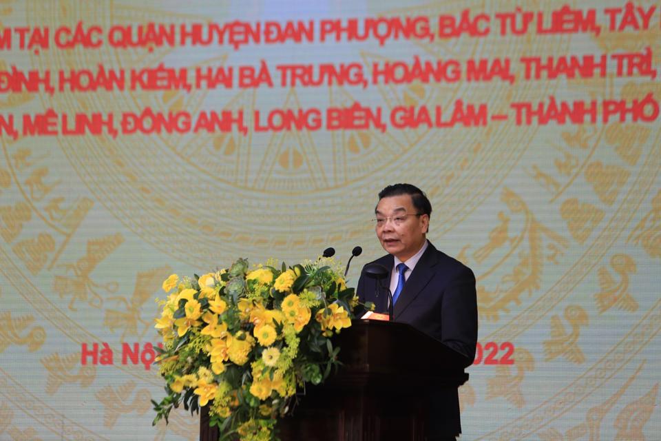
| Chairman of the Hanoi People's Committee Chu Ngoc Anh at the event. Photos: The Hanoi Times |
The move came following the decision from the municipal authorities to approve the plans in late March.
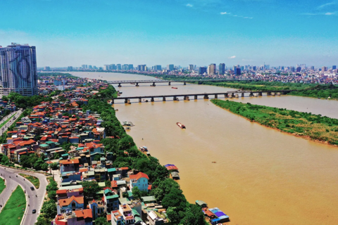
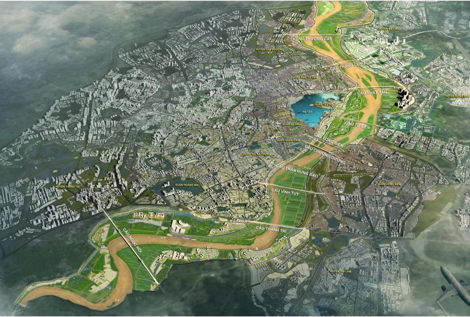
At the meeting, Vice Director of the municipal Planning – Architecture Department Pham Quoc Tuyen noted the Red River Zoning Plan, covering an area of nearly 11,000 hectares in 13 districts, would function as a flood drainage for the downtown areas, which has been stipulated under the city’s construction planning until 2030, with a vision to 2050.
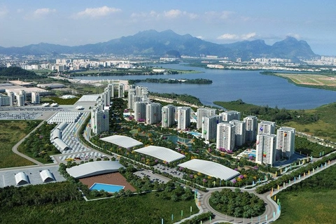
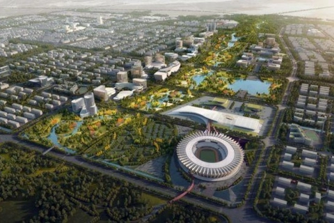
In addition, it is set to become a green landscape with public spaces for cultural and tourism purposes, for which the city would invest in a network of transport and technical infrastructure to improve the livelihood of the people living in the riparian areas, and eventually turn it into a growth engine for the capital metropolitan area.
“The planning is a legal basis to preserve the people’s livelihood, historical and cultural heritage sites, as well as the utilization of available land funds to create urban landscape alongside the Red River,” he said.
Tuyen, therefore, expected the planning would meet people’s desire to settle legally in the riparian areas outside the dyke system in long term.
Under the Duong River Zoning plan, the section stretching from Bac Cau Bridge to Phu Dong Bridge, the city will build a high-standard dyke system in the area to prevent risks of flooding and upgrade the waterway routes to bolster regional connectivity.
| An overview of the Red River Zoning plan. |
The available land portfolio in this area would be used for tree planting, as the city aims to preserve the natural landscape and historical sites for tourism.
In addition, Hanoi would build new roads alongside the Duong River, as well as bridges crossing it, to create a new growth engine for the area.
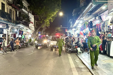
Director of the Hanoi Urban Planning Institute Luu Quang Huy added a key part of the two plannings is to preserve the historical sites and relocate people living in the riparian areas outside the dykes.
| Director of the Hanoi Urban Planning Institute Luu Quang Huy. |
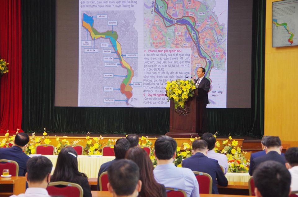
Statistics revealed an estimate of 243,670 people are living in the riparian areas along the two banks of the Red River and 14,000 by the Duong River.
“5% of the land fund in the area would be used to relocate people, while priorities in the urban renovation are given to social infrastructure projects, parks, public playground, trade, and services,” Huy said.
| Overview of the event. |

Chairman of the Hanoi People’s Committee Chu Ngoc Anh stressed the significance of the two zoning plans for the capital city’s development.
“These are the basis for the authorities to set up detailed planning at a smaller scale, an important step in urban design and construction management,” Anh said, referring to the formation of an urban space axis with main functions being public infrastructure, parks, cultural and historical sites, services, and entertainment.
“The construction of new urban areas would contribute to Hanoi’s socio-economic development and improve the people’s living standards towards greater sustainability,” he added.