The 500-km river runs through nine cities and provinces of Vietnam, and has played a significant role in the life and culture of Vietnamese people. The fertile silt of the river aids in agriculture, with a delta spanning the two provinces of Thai Binh and Nam Dinh.
The river also provides water for many hydro-power plants, and even though it has gone through much change throughout history, it continues to be a source of life and beauty for the land through which it runs.
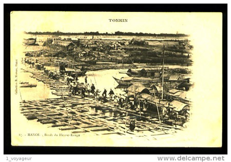
Red River photo taken in 1900
Taken in 1904
Taken in 1906
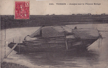
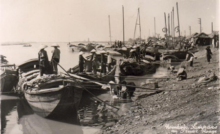
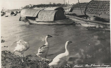
Riverboat (1907)
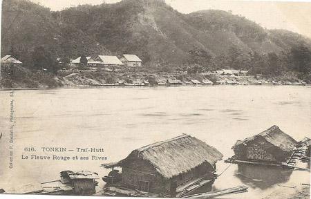
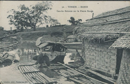
Houses along the banks (1910)
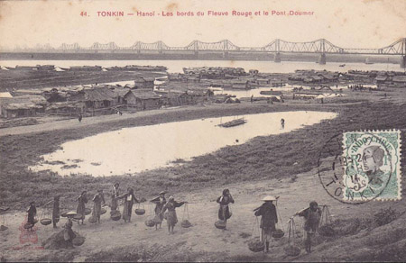
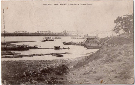
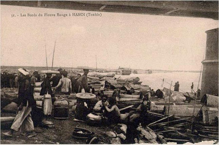
Workers beside Red River near Long Bien Bridge (1911)
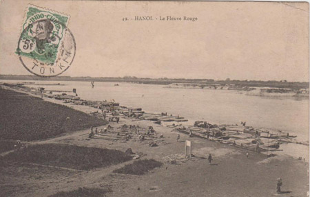
Red River (1914)
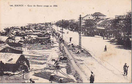
Villages beside Red River (1926)
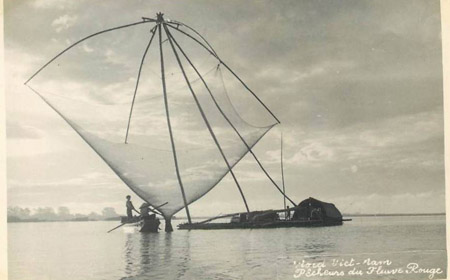
Fishermen (1952)
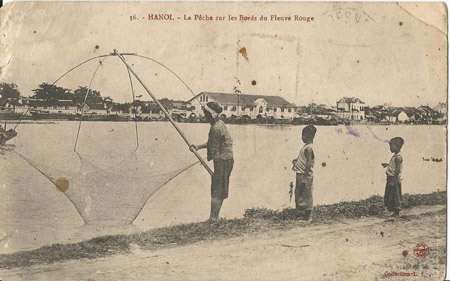
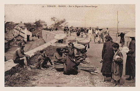
Daily life by Red River
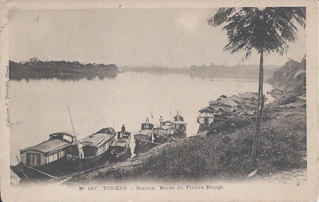
Taken in Son Tay
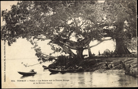
Red River in Viet Tri City
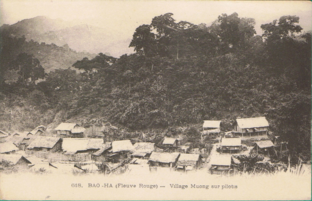
Houses by the river bank
Peaceful scene by the river bank