Hanoi’s satellite urban areas take shape slowly
The low qualifications of the planning consultancy units, shortage of input data for planning and the lengthened process of stakeholders' consultation are the reasons for the slow construction progress of satellite urban areas.
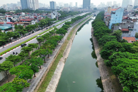
Ten years have passed but Hanoi’s satellite urban areas have not come into being, while the city's downtown has been heavily overloaded and polluted. What are the causes?
According to Hanoi’s general planning for 2030, with a vision to 2050, the Hanoi People’s Committee has approved five zoning plans for satellite urban areas with a total area of 20,388.3 hectares, namely Hoa Lac, Son Tay, Xuan Mai, Phu Xuyen and Soc Son.
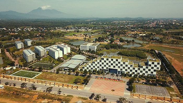
| Hoa Lac satellite urban area’s planning |
Director of the Hanoi Department of Planning and Architecture Nguyen Truc Anh said that so far, only Hoa Lac satellite urban area’s planning has been completed and approved by the Ministry of Construction, then will be submitted to the government in the time ahead.
The concept of Son Tay and Soc Son planning is currently under investigation by some developers. Once it comes into being, the Hanoi Institute of Planning and Construction will take it over and develop the concept into concrete projects.
The planning of Phu Xuyen and Xuan Mai satellite urban areas with six sub-projects are under construction for approval.
According to Truc Anh, the low qualifications of the planning consultancy units, shortage of input data for planning and the lengthened process of stakeholders' consultation are the reasons for the slow construction progress of satellite urban areas.
According to architect Dao Ngoc Nghiem, vice chairman of the the Hanoi Urban Planning Association, the translation of general planning into detailed projects has been slow, hindering investment attraction into their development.
Typically, Xuan Mai is planned to become a service-industry urban area, supporting the development of local handicraft and craft villages, a gateway to the west of Hanoi to communicate with the Northwest provinces, a university township and an ecological urban area.
However, the technical infrastructure in Xuan Mai satellite urban area, especially the transportation system, is poor. Currently, the upgrade of highway No.6 connecting Xuan Mai to the downtown Ha Dong district has not been completed, making access to the inner city difficult. In addition, the inert projects of Xuan Mai - Ha Dong expressway and urban railway are discouraging investors from developing the town.
In order to create motivation for the development of satellite urban areas, Dao Ngoc Nghiem said that there should be a specific steering agency in the construction satellite urban areas to implement the planning, instead of the district people’s committees.
Besides, satellite urban areas planning should be widely made public in order to attract investors, Nghiem added.
Moreover, the transportation system connecting the downtown with the satellite urban areas, between the satellite urban areas and surrounding residential areas needs to be quickly completed.
In addition, it is necessary to attract resources to build social and technical infrastructure in the satellite urban areas.
All five satellite towns, when built synchronously, can accommodate 1.4 million people, accounting for 15% of the capital city's population by 2030.
It is expected that the satellite urban areas with harmonious system of technical and social infrastructure, will ease downtown overpopulation and avoid the concentration of schools, factories and hospitals in the inner city.