Typhoon Matmo makes landfall, causes heavy rain in northern Vietnam
Vietnam's northern provinces were directed to activate disaster prevention and search-and-rescue plans, reinforce flood control and prevent tree collapses as Typhoon Matmo, the 11th storm affecting the East Sea this year, has hit mainland.
THE HANOI TIMES — Typhoon Matmo made landfall near the Vietnam-China border on the morning of October 6, before weakening into a tropical depression and causing heavy rain in Vietnam's northern region, including Hanoi.
According to the National Center for Hydro-Meteorological Forecasting (NCHMF), Typhoon Matmo's circulation is forecast to bring heavy rainfall to Hanoi from midday of October 6 to late October 7.
Hanoi is likely to see widespread precipitation ranging from 50mm to 100 mm, and isolated areas potentially receiving over 150 mm. Thunderstorms may also bring the risk of strong winds, lightning and gusts.

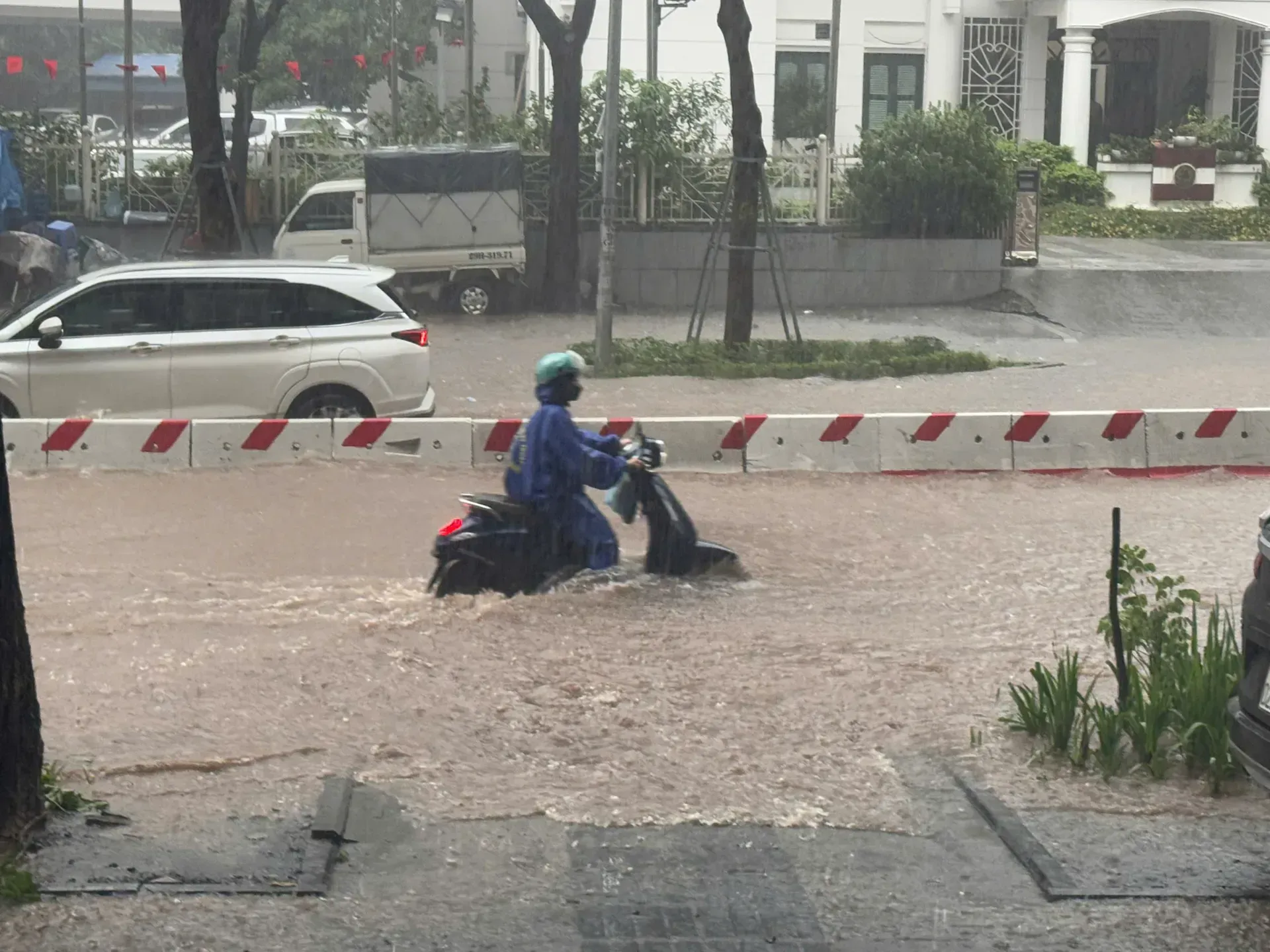
Huynh Thuc Khang Street in Hanoi is flooded due to effects of Typhoon Bualoi (storm No.10) earlier this month. Photo: Ngoc Tu/The Hanoi Times
The center noted that aside from strong winds, Matmo is forecast to bring heavy to extremely heavy rainfall, with widespread totals ranging 150mm-250mm, possibly exceeding 350mm in the northern mountainous and midland regions, lasting through the night of October 7.
Due to the heavy rainfall, a flood event is likely to occur from October 6 to 9 across rivers in Vietnam's northern region. Water levels may rise 4-8 meters in the heatwater regions and 2-5 meters in the lower reaches of major rivers.
Rising river levels combined with intense rainfall may cause flooding and isolation in low-lying areas across northern Vietnam that are still recovering from the impacts of the previous storm, said the NCHMF.
This new round of heavy rain comes on the heels of the downpours caused by Typhoon Bualoi, which already saturated the soil in the region. Meteorologists have warned about a high risk of flash floods and landslides, which are extremely dangerous due to their sudden and unpredictable nature.
By 7 PM on October 6, it is expected to move towards the northern mountainous region of Vietnam, with winds dropping to below 40 km per hour. It will keep moving northwest at 20-25 km per hour, weakening into a low-pressure area. Strong winds and high waves are forecast in the Gulf of Tonkin, including Bach Long Vi, the furthest island from Vietnam's mainland.
Forecasters said that by late October 6, Matmo will keep moving west-northwest into the northern mountainous areas of Vietnam. The northern provinces of Quang Ninh and Lang Son are expected to be the most directly affected.
Hanoi is less likely to be directly affected by the storm's strong winds. The capital city is not expected to suffer widespread flooding as seen on September 30 in the wake of Typhoon Bualoi, but inundation will happen in low-lying areas.
In response to Typhoon Matmo, Luong Tam Quang, Minister of Public Security General, on October 5, issued a letter of encouragement to all officers and soldiers, urging them to focus on dealing with the consequences of the previous storm, Bualoi, and stand ready to cope with Typhoon Matmo, ensuring safety for the people.
"Vietnam is forecast to face three or four more typhoons by late 2025. All officers and soldiers are urged to promote the force’s tradition and continue to serve as a strong shield for the people in the face of danger," said Quang.

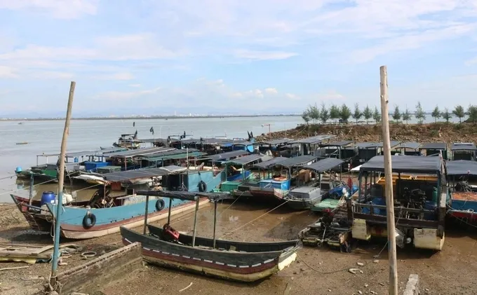
Vessels in the northern province of Quang Ninh have been anchored at safe locations ahead of the typhoon's landfall. Photo: Quang Ninh Newspaper


